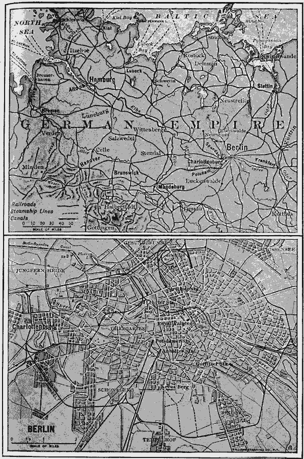
Description: A two–paneled map showing the northern German environs of Berlin and a detail of the city. The upper map shows neighboring cities, towns, ports, railroads, steamship routes, canals, and rivers, while the lower panel shows a generalized plan of the city with major streets, railway stations, suburbs and neighboring villages.
Place Names: Germany, Berlin, Swindermunde, Hamburg, Bremen, Hanover
ISO Topic Categories: oceans,
location,
inlandWaters
Keywords: Berlin, transportation, �political, local jurisdictions, railroads,
water routes, oceans,
location,
inlandWaters, Unknown, 1910
Source: Ralph S. Tarr, B.S., F.G.S.A. and Frank M. McMurry, Ph.D., New Geographies (Second Book) (New York , NY: The MacMillan Company, 1910) 315
Map Credit: Courtesy the private collection of Roy Winkelman |
|