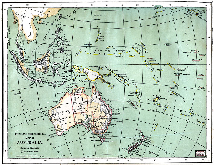
Description: A map from 1870 of Australia and the Pacific Islands that together comprise Oceania. The map shows major cities and ports, rivers, terrain and coastal features, seas, reefs and coral islands. The map includes an outline map of Pennsylvania at the same map scale to show the comparative area size relationship.
Place Names: Regional Pacific Ocean, Australia, �New Zealand, �Solomon Islands, �Sandwich Islands, �New Hebrides, �Gilbert Islands, �Ralick Islands, �Cook Islands, �New Guinea, �Borneo, �Sumatra, �Java, �Malay Peninsula, �Philippine
ISO Topic Categories: physical, �political, kComparativeArea, kWorldPacific
Keywords: Australia and Oceania, physical, �political, kComparativeArea, physical features,
topographical, major political subdivisions, physical, �political, kComparativeArea, kWorldPacific, Unknown, 1870
Source: A. Von Steinwehr, Intermediate Geography (Cincinnati, OH: Wilson, Hinkle & Co., 1870) 82
Map Credit: Courtesy the private collection of Roy Winkelman |
|
