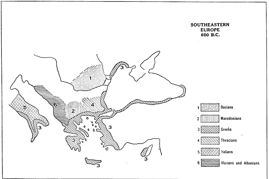
Description: A map of southeastern Europe in 600 B.C. showing territories and distribution of peoples, including the Dacians, Macedonians, Greeks, Thracians, Italians, and the Illyrians and Albanians.
Place Names: Mediterranean Europe,
ISO Topic Categories: boundaries,
oceans
Keywords: Southeastern Europe, physical, �political, �historical, �dacians, macedonians, greeks, thracians, italians, illyrians, albanians, physical features, country borders, ethnological, boundaries,
oceans, Unknown, 600 B.C.
Source: L. P. Benezet, The Story of the Map of Europe (Chicago, IL: Scott, Foresman and Company, 1916) 72
Map Credit: Courtesy the private collection of Roy Winkelman |
|