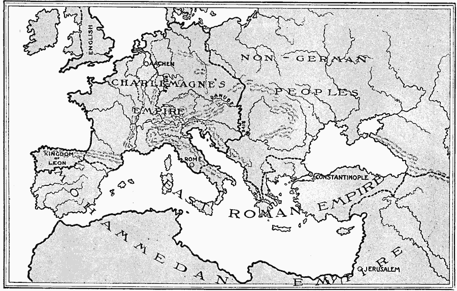
Description: A map of Europe in the time of the Empire of Charlemagne. This map shows Charlemagne's Empire and its political center in Aachen, the lands of the non–German peoples, the East Roman Empire with its capital in Constantinople, the Kingdom of Leon in northern Spain, and the Mohammedan Empire in Spain, northern Africa, and the Middle East.
Place Names: A Complete Map of Europe, Charlemagne's Empire, �Kingdom of Leon, �Rome, �Constantinople, �Jerusalem, �Aache
ISO Topic Categories: boundaries,
inlandWaters,
location,
oceans
Keywords: Empire of Charlemagne, physical, �historical, �political, kCharlemagne, country borders, boundaries,
inlandWaters,
location,
oceans, Unknown, AD 768–814
Source: L. P. Benezet, The Story of the Map of Europe (Chicago, Illinois: Scott, Foresman and Company, 1916) 90
Map Credit: Courtesy the private collection of Roy Winkelman |
|
