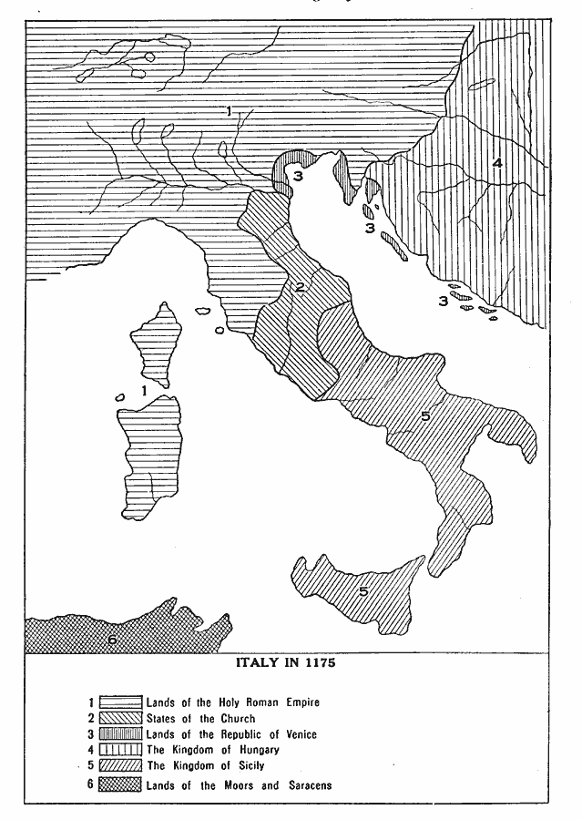
Description: A map of Italy in AD 1175 showing the lands of the Holy Roman Empire, States of the Church, lands of the Republic of Venice, the Kingdom of Hungary, the Kingdom of Sicily, and the lands of the Moors and Saracens.
Place Names: Italy, Lands of the Holy Roman Empire �States of the Church, �Lands of the Republic of Venice, �The Kingdom of Hungary, �The Kingdom of Sicily, �Lands of the Moors and Saracen
ISO Topic Categories: boundaries,
inlandWaters,
oceans
Keywords: Italy, physical, �political, �historical, physical features, country borders, boundaries,
inlandWaters,
oceans, Unknown, 1175 A.D.
Source: L. P. Benezet, The Story of the Map of Europe (Chicago, Illinois: Scott, Foresman and Company, 1916) 116
Map Credit: Courtesy the private collection of Roy Winkelman |
|