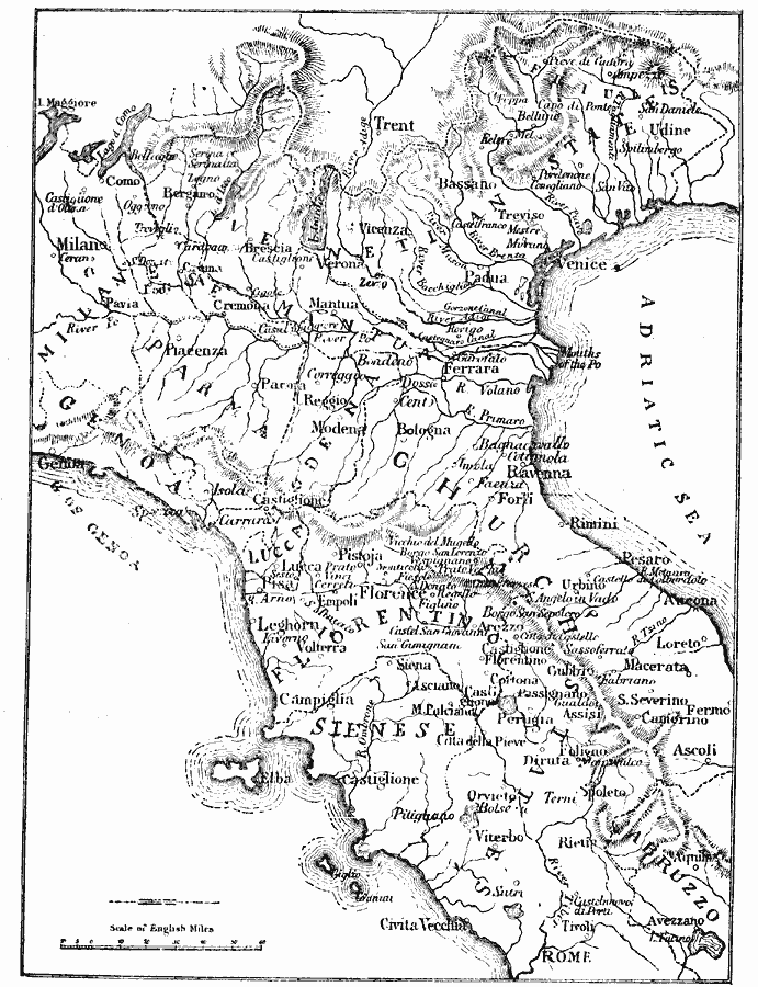
Description: A sketch map of northern and central Italy in the sixteenth century, showing important cities and ports, rivers, mountain systems, and coastal features from Genoa to Rome on the Ligurian Sea, and the Venetian States to Abruzzo on the Adriatic.
Place Names: Italy, Trent, �Milan, �Genoa, �Leghorn, �Venice, �Udine, �Ferrara, �Loreto, �Rome, �Florence, �Pistoja, �Modena, �Bologna, �Manuta, �Verona, �Aquil
ISO Topic Categories: inlandWaters,
location,
oceans
Keywords: Northern and Central Italy, physical, �political, physical features,
topographical, inlandWaters,
location,
oceans, Unknown, 16th Century
Source: Mrs. Arthur Bell, Elementary History of Art (New York, New York: Charles Scribner's Sons, 1895) 33
Map Credit: Courtesy the private collection of Roy Winkelman |
|