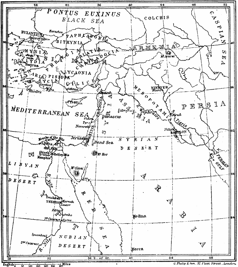
Description: A sketch–map from 1895 of some of the principal cities and great temples of the ancient world.
Place Names: Regional Mediterranean, Persia, �Armenia, �Mesopotamia, �Byzantium, �Cilicia, �Jerusalem, �Europ
ISO Topic Categories: physical, �political, kWorldMedSea, kWorldAfroAsia, kWorldEurasia
Keywords: Principal Cities and Great Temples of the Ancient World, physical, �political, physical features, country borders, physical, �political, kWorldMedSea, kWorldAfroAsia, kWorldEurasia, Unknown, 3100–509 BC
Source: Mrs. Arthur Bell, Elementary History of Art (New York, New York: Charles Scribner's Sons, 1895) 3
Map Credit: Courtesy the private collection of Roy Winkelman |
|