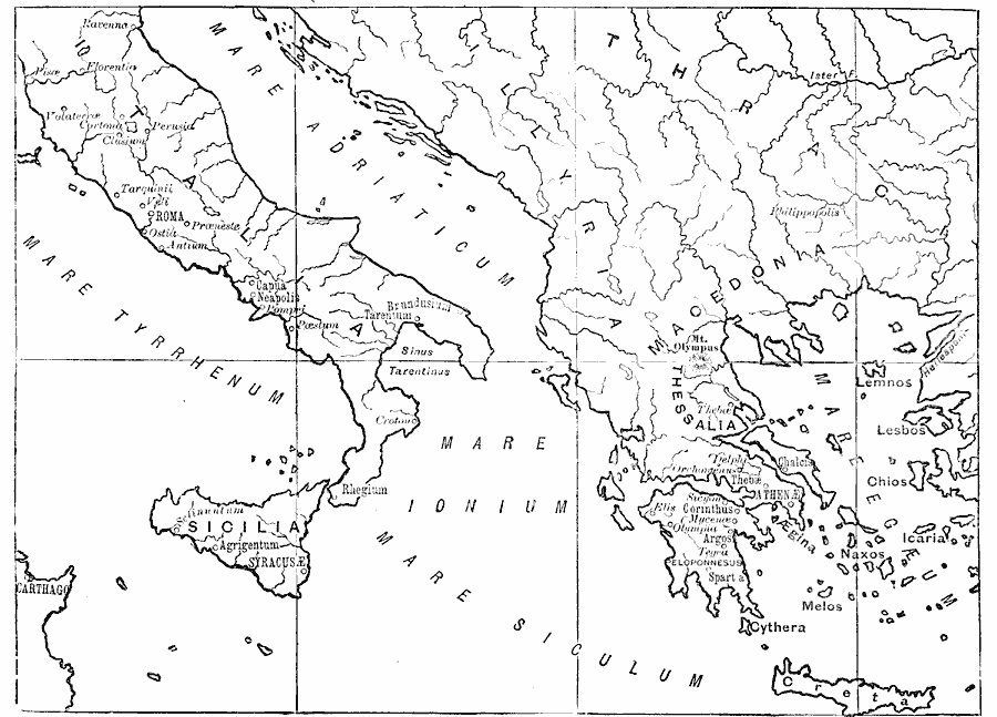
Description: A sketch map of Ancient Greece and Italy showing principal cities and territories of the era.
Place Names: Mediterranean Europe, Roma, �Sicilia, �Creta, �Tarentum, �Capua, �Neapolis, �Lesbos, �Chios, �Icaria, �Argos, �Corinthus, �Athena, �Sparta, �Macedonia, �Greece, �Ital
ISO Topic Categories: inlandWaters,
location,
oceans
Keywords: Ancient Greece and Italy, physical, �political, kAncientGreece, physical features, country borders, inlandWaters,
location,
oceans, Unknown, 700 BC to AD 200
Source: Mrs. Arthur Bell, Elementary History of Art (New York, NY: Charles Scribner's Sons, 1895) 28
Map Credit: Courtesy the private collection of Roy Winkelman |
|