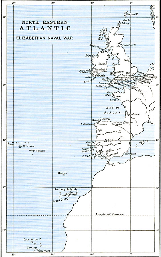
Description: A map of the coastal areas of the northeastern Atlantic during the Elizabethan naval wars between the Spanish and English armadas in 1585–1604. The map shows the locations of several important battles, including Cadiz near Gibralter (1587), Gravelines in the English Channel (1588), Lisbon (1589), Santander and Corunna on the Spanish section of the Bay of Biscay, and Kinsale Ireland (1601). The map also shows major ports, rivers, and coastal features.
Place Names: Miscellaneous Europe, England, �Germany, �Ireland, �Scotland, �United Kingdom, �France, Spain, Portugal, English Channel
ISO Topic Categories: oceans,
location,
inlandWaters,
boundaries
Keywords: North Eastern Atlantic, political, local jurisdictions, oceans,
location,
inlandWaters,
boundaries, Unknown, 1585–1604
Source: Ward, Prothero, and Leathes, The Cambridge Modern History Atlas (New York, NY: The Macmillan Company, 1912)
Map Credit: Courtesy the private collection of Roy Winkelman |
|