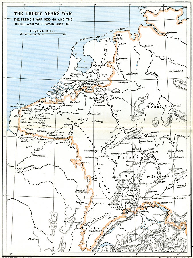
Description: A map of the Netherlands and western Holy Roman Empire during the Thirty Years War, subtitled "The French War 1635–48 and the Dutch War with Spain 1620–48." This map shows the United Netherlands during the final period of the Dutch Revolt (Eighty Years' War) to gain independence from Spanish rule, which ended with the Treaty of Mü:nster and the Peace of Westphalia in 1648. The map also shows the western portion of the Holy Roman Empire, including the Spanish Netherlands, East Frisia, Hesse Cassel, Palatinate, Württemberg, and Franche Comté. The map shows important cities, major rivers, and mountain systems of the region.
Place Names: Western and Central Europe, Amsterdam, �Brussels, �Cologne, �Frankfort, �Germany, �Hamburg, �Holland, �Ireland, �Lorraine, �Netherlands, �Spain, �Wurtembur
ISO Topic Categories: oceans,
location,
inlandWaters,
boundaries
Keywords: The Thirty Years War, political, �historical, kThirtyYearsWar, local jurisdictions,
country borders,
major political subdivisions, other military,
historical event, oceans,
location,
inlandWaters,
boundaries, Unknown, 1620–1648
Source: Ward, Prothero, and Leathes, The Cambridge Modern History Atlas (New York, NY: The Macmillan Company, 1912)
Map Credit: Courtesy the private collection of Roy Winkelman |
|