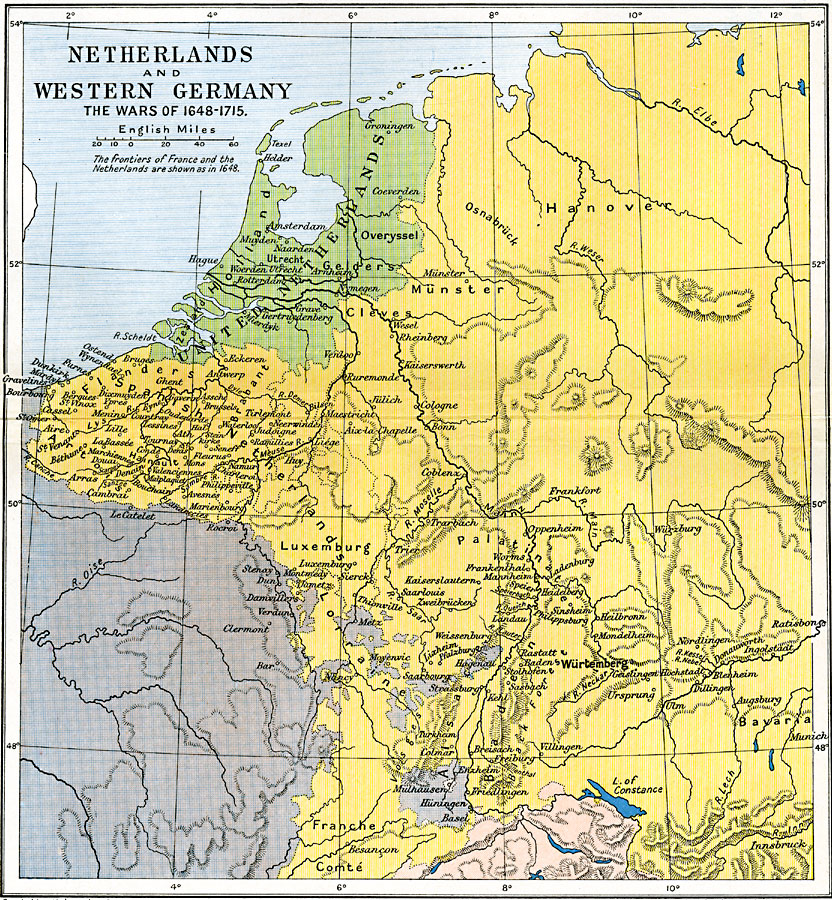
Description: A map of the Netherlands and Western Germany, subtitled "The Wars of 1648–1715." This map shows the region at the time between the end of the Thirty Years' War, with the Peace of Westphalia (1648), through the War of the Spanish Succession and the treaties of Utrecht and Rastatt (1714). The map shows the United Netherlands (Zeeland, Holland, Utrecht, Gelders, Overyssel, and Groningen), the Spanish Netherlands (or in part, the Seventeen Provinces, including Flanders, Artois, Brabant, Hainault, and Luxemburg), and portions of northern France and western Holy Roman Empire. Major rivers and important cities of the time are shown.
Place Names: Central Europe, United Netherlands, Zeeland, Holland, Utrecht, Gelders, Overyssel, Groningen, Spanish Netherlands, Flanders, Artois, Brabant, Hainault, Luxemburg, Holy Roman Empire, Lorraine
ISO Topic Categories: oceans,
location,
inlandWaters,
boundaries
Keywords: Netherlands and Western Germany, political, �historical, local jurisdictions,
country borders,
major political subdivisions, other military,
historical event, oceans,
location,
inlandWaters,
boundaries, Unknown, 1648–1715
Source: Ward, Prothero, and Leathes, The Cambridge Modern History Atlas (New York, NY: The Macmillan Company, 1912)
Map Credit: Courtesy the private collection of Roy Winkelman |
|