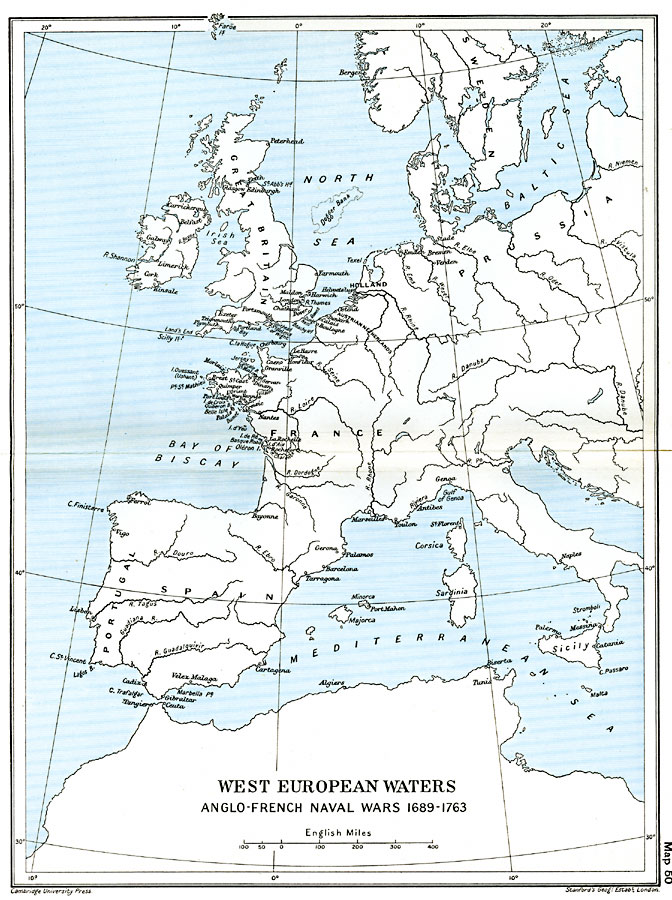
Description: A map of West European Waters, subtitled "Anglo–French Naval Wars 1689–1763." The map shows major coastal cities, ports, rivers, and coastal features in western Europe from the Baltic Sea, the British Isles, Bay of Biscay, Strait of Gibraltar, to the western Mediterranean.
Place Names: Western and Central Europe, Austria, �England, �France, �Holland, �Italy, �Netherlands, �Portugal, �Prussia, �Sicily, �Spain, �Sweden, �United Kingdo
ISO Topic Categories: oceans,
location,
inlandWaters,
boundaries
Keywords: West European Waters, political, �historical, local jurisdictions,
country borders,
major political subdivisions, historical event,
other military, oceans,
location,
inlandWaters,
boundaries, Unknown, 1689–1763
Source: Ward, Prothero, and Leathes, The Cambridge Modern History Atlas (New York, NY: The Macmillan Company, 1912)
Map Credit: Courtesy the private collection of Roy Winkelman |
|