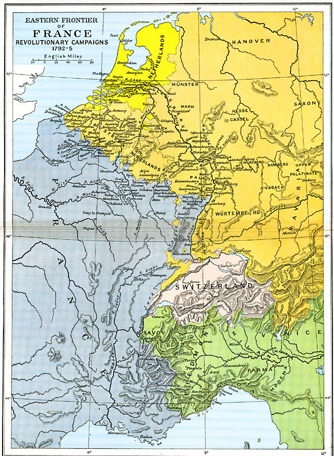
Description: A map of the eastern frontier of France during the National Convention period of the French Revolution, subtitled "Revolutionary Campaigns 1792–1795." This map is color–coded to show the territories of eastern France, the United Netherlands, portions of the Holy Roman Empire including the Austrian Netherlands, Switzerland, and the Italian territories of Savoy, Piedmont, Milan, and Genoa. The map shows major cities, rivers, and terrain.
Place Names: France, Bavaria, �Netherlands, �Palatinate, �Saxony, �Wurtembur
ISO Topic Categories: oceans,
location,
inlandWaters,
boundaries
Keywords: Eastern Frontier of France, political, kFrenchRevolution, country borders,
major political subdivisions,
local jurisdictions,
county borders, oceans,
location,
inlandWaters,
boundaries, Unknown, 1792–1795
Source: Ward, Prothero, and Leathes, The Cambridge Modern History Atlas (New York, NY: The Macmillan Company, 1912)
Map Credit: Courtesy the private collection of Roy Winkelman |
|