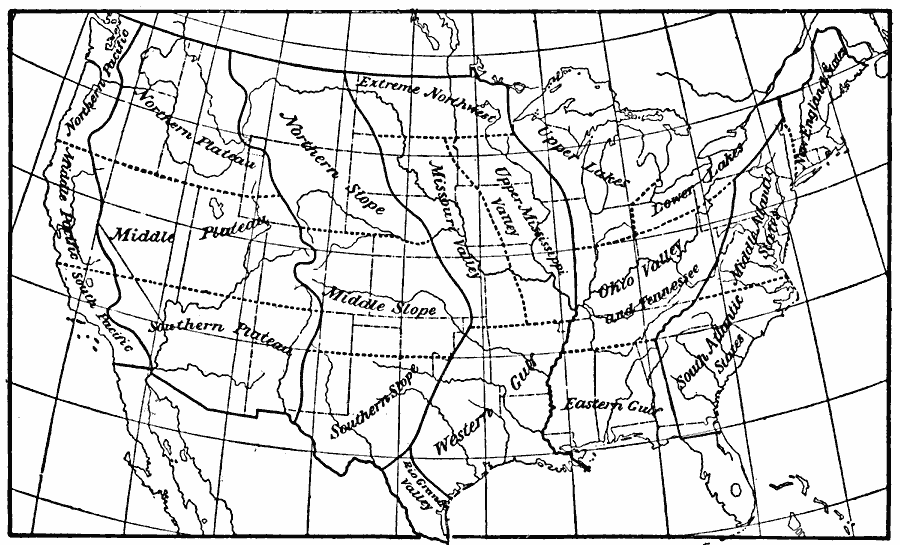
Description: A map from 1896 showing the climatic subdivisions of the United States. "The systematic division of the United States into climatic subdivisions was adopted by the United States Weather Bureau, and is based on the variations of climate with latitude, altitude, and marine exposure." — Waldo, 1896, p. 317.
Place Names: Meteorology, climatic, �climatolog
ISO Topic Categories: climatologyMeteorologyAtmosphere,
inlandWaters,
oceans
Keywords: United States Climactic Subdivisions, physical, �meteorological, kClimate, physical features, climate, climatologyMeteorologyAtmosphere,
inlandWaters,
oceans, Unknown, 1896
Source: Frank Waldo, Elementary Meteorology (New York, NY: American Book Company, 1896) 318
Map Credit: Courtesy the private collection of Roy Winkelman |
|
