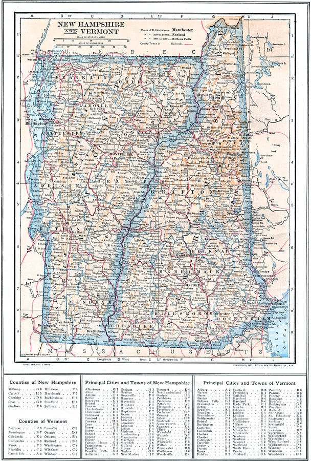
Description: A map from 1914 of New Hampshire and Vermont showing principal cities and towns, counties and county seats, railroad routes, mountains, lakes, and rivers. A grid reference in the margins of the map lists counties, principal cities, and towns of the area.
Place Names: New England States, Portsmouth, �Manchester, �Dover, �Rochester, �Concord, �Lancaster, �Haverhall, �Bristol, �Newport, �Bennington, �Burlington, �Montpelier, �Rutland, �Hyde Park, �St. Albans, �Woodstoc
ISO Topic Categories: boundaries,
inlandWaters,
location,
transportation
Keywords: New Hampshire and Vermont, physical, �political, �transportation, physical features, county borders, railroads, boundaries,
inlandWaters,
location,
transportation, Unknown, 1914
Source: , The New Encyclopedic Atlas and Gazetteer of the World (New York, NY: P. F. Collier and Son, 1914) 36
Map Credit: Courtesy the private collection of Roy Winkelman |
|