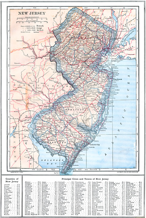
Description: New Jersey with railroad routes, showing physical features.
Place Names: New Jersey, Elizabeth, �Jersey City, �Atlantic City, �Salem, �Burlington, �Trenton, �Newark, �Camden, �New Brunswick, �Paterso
ISO Topic Categories: boundaries,
location,
inlandWaters,
oceans,
transportation
Keywords: New Jersey, physical, �political, �transportation, physical features, county borders, railroads, boundaries,
location,
inlandWaters,
oceans,
transportation, Unknown, 1914
Source: , The New Encyclopedic Atlas and Gazetteer of the World (New York, NY: P. F. Collier and Son, 1914) 37
Map Credit: Courtesy the private collection of Roy Winkelman |
|