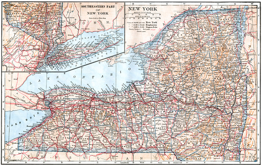
Description: A map from 1914 of New York showing the capital of Albany, counties and county seats, principal cities and towns, railroads, canals, mountains, lakes, and rivers. An inset map details southeastern New York and Long Island.
Place Names: New York, New York City, �Brooklyn, �Buffalo, �Rochester, �Oswego, �Kingston, �Syracuse, �Albany, �Utica, �Tro
ISO Topic Categories: boundaries,
location,
inlandWaters,
transportation
Keywords: New York, physical, �political, �transportation, physical features, county borders, railroads,
water routes, boundaries,
location,
inlandWaters,
transportation, Unknown, 1914
Source: , The New Encyclopedic Atlas and Gazetteer of the World (New York, NY: P. F. Collier and Son, 1914) 39
Map Credit: Courtesy the private collection of Roy Winkelman |
|