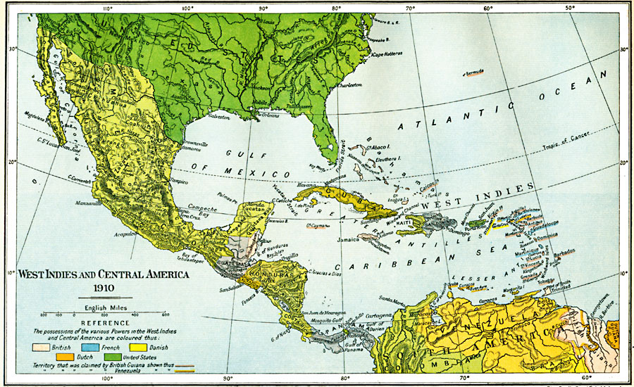
Description: A map of West Indies and Central America in 1910. The map is color–coded to show the European possessions of Britain, France, Denmark, and the Netherlands in the region at the time, and the possession of Porto Rico by the United States. This map also shows the disputed territories in the Guianas between Britain and Venezuela.
Place Names: Regional Americas, Bahamas, �Costa Rica, �Cuba, �Dominican Republic, �Guatemala, �Haiti, �Honduras, �Jamaica, �Mexico, �North America, �Panama, �Puerto Rico, �South America, �Yucata
ISO Topic Categories: political, kWorldAmericas
Keywords: West Indies and Central America, political, country borders,
local jurisdictions,
major political subdivisions, political, kWorldAmericas, Unknown, 1910
Source: Ward, Prothero, and Leathes, The Cambridge Modern History Atlas (New York, NY: The Macmillan Company, 1912)
Map Credit: Courtesy the private collection of Roy Winkelman |
|