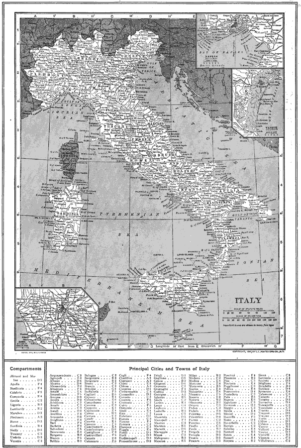
Description: A map of Italy in 1914 showing major cities, towns, ports, railways, coastal features and rivers. The map includes insets detailing Rome, Bay of Naples, and Venice, and a reference key to Compartments and principal cities and towns.
Place Names: Italy, Venice, �Rome, �Naples, �Pisa, �Florence, �Bologna, �Genoa, �Milan, �Messin
ISO Topic Categories: boundaries,
inlandWaters,
location
Keywords: Italy, physical, �political, physical features, country borders, boundaries,
inlandWaters,
location, Unknown, 1914
Source: , The New Encyclopedic Atlas and Gazetteer of the World (New York, New York: P. F. Collier and Son, 1914) 141
Map Credit: Courtesy the private collection of Roy Winkelman |
|