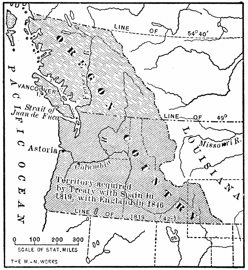
Description: A map of the Oregon Country showing the adjustments to the boundaries between 1819–1846, including the southern boundary established by treaty with Spain in 1819, and the boundary dividing the territory between the United States and Great Britain in 1846.
Place Names: Growth of Nation, Oregon, �Portland, �Vancouver, �Washington, �Oregon Countr
ISO Topic Categories: oceans,
location,
inlandWaters
Keywords: The Oregon Country, historical, historical event, oceans,
location,
inlandWaters, Unknown, 1819–1846
Source: Jacques W. Redway, F.R.G.S., The Redway School History (New York, NY: Silver, Burdett and Company, 1911) 267
Map Credit: Courtesy the private collection of Roy Winkelman |
|