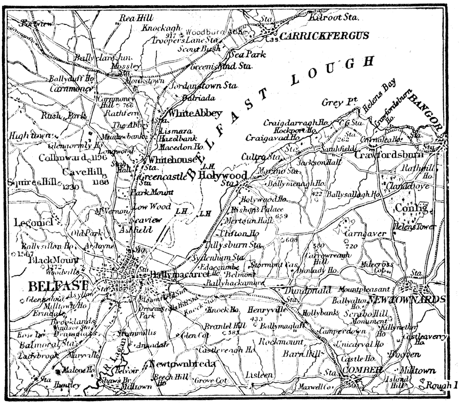
Description: A map of Belfast, Ireland, and vicinity, showing its situation on Belfast Lough, major roads, railroads and waterways, rivers and terrain, and neighboring cities and towns including Carrickfergus, White Abby, Holywood, Bangor, Newtownards, Comber, and Newtownbreda. Highland elevations are shown in feet.
Place Names: Ireland, Belfast, �Belfast Lough, �Bangor�Carrickfergus,
ISO Topic Categories: transportation,
inlandWaters
Keywords: Belfast, Ireland, physical, �transportation, physical features, railroads,
water routes, transportation,
inlandWaters, Unknown, 1914
Source: , The New Encyclopedic Atlas and Gazetteer of the World (New York, New York: P. F. Collier and Son, 1914) 151
Map Credit: Courtesy the private collection of Roy Winkelman |
|