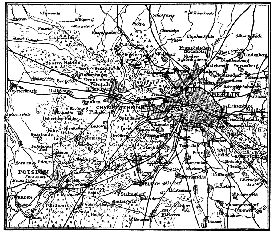
Description: A map of Berlin, Germany and vicinity in 1914, including Spandau and Potsdam. The map shows major streets, railways, neighboring cities and towns, rivers, and forests.
Place Names: Germany, Berlin, �Potsdam, �Spandad,
ISO Topic Categories: environment,
transportation
Keywords: Berlin, Germany, transportation, �physical, physical features, environment,
transportation, Unknown, 1914
Source: , The New Encyclopedic Atlas and Gazetteer of the World (New York, New York: P. F. Collier and Son, 1914) 153
Map Credit: Courtesy the private collection of Roy Winkelman |
|