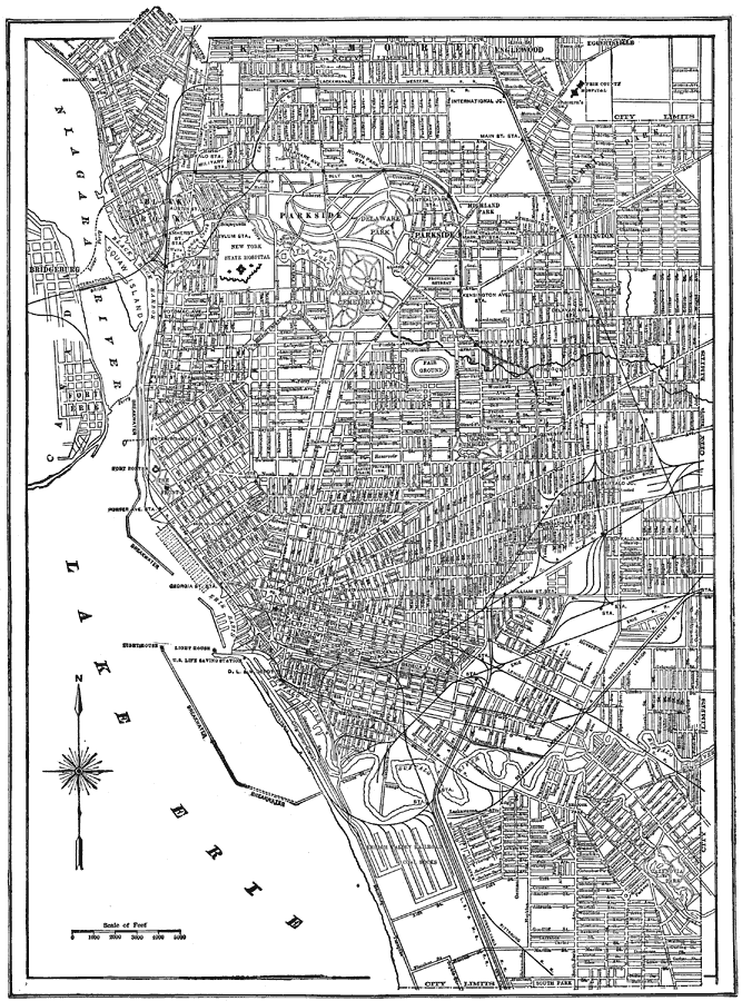
Description: A map from 1914 of Buffalo New York showing the principal streets and avenues, harbor district, railroad lines, parks, and major landmarks.
Place Names: New York, Buffalo, �Niagara River, �Lake Erie, �Buffalo River, Black Rock harbor, �Squaw Island,
ISO Topic Categories: inlandWaters,
transportation,
structure
Keywords: Buffalo, New York Road Map, physical, �transportation, physical features, roads,
railroads, inlandWaters,
transportation,
structure, Unknown, 1914
Source: , The New Encyclopedic Atlas and Gazetteer of the World (New York, NY: P. F. Collier and Son, 1914) 157
Map Credit: Courtesy the private collection of Roy Winkelman |
|