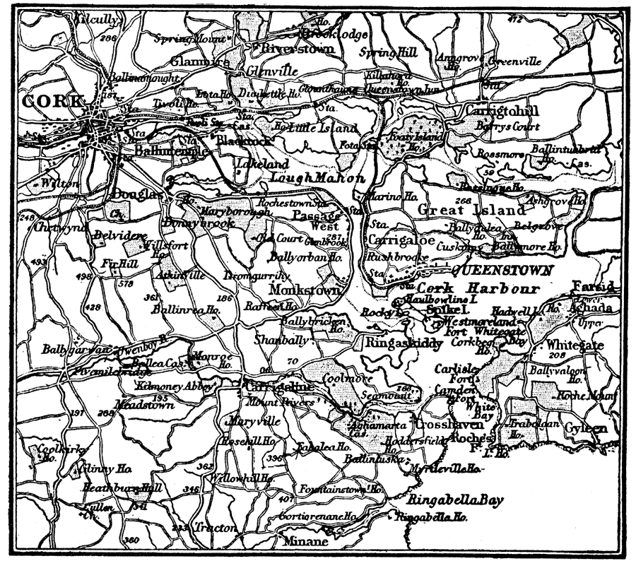
Description: A map of the cities of Cork and Queenstown, Ireland, and vicinity in 1914, showing the harbors, major roads, neighboring towns, rivers, terrain, and coastal features.
Place Names: Ireland, Cork, �Cork Harbour, �Queenstown, �Great Island,
ISO Topic Categories: transportation,
inlandWaters,
location
Keywords: Cork, Ireland, physical, �transportation, physical features, transportation,
inlandWaters,
location, Unknown, 1914
Source: , The New Encyclopedic Atlas and Gazetteer of the World (New York, New York: P. F. Collier and Son, 1914) 168
Map Credit: Courtesy the private collection of Roy Winkelman |
|