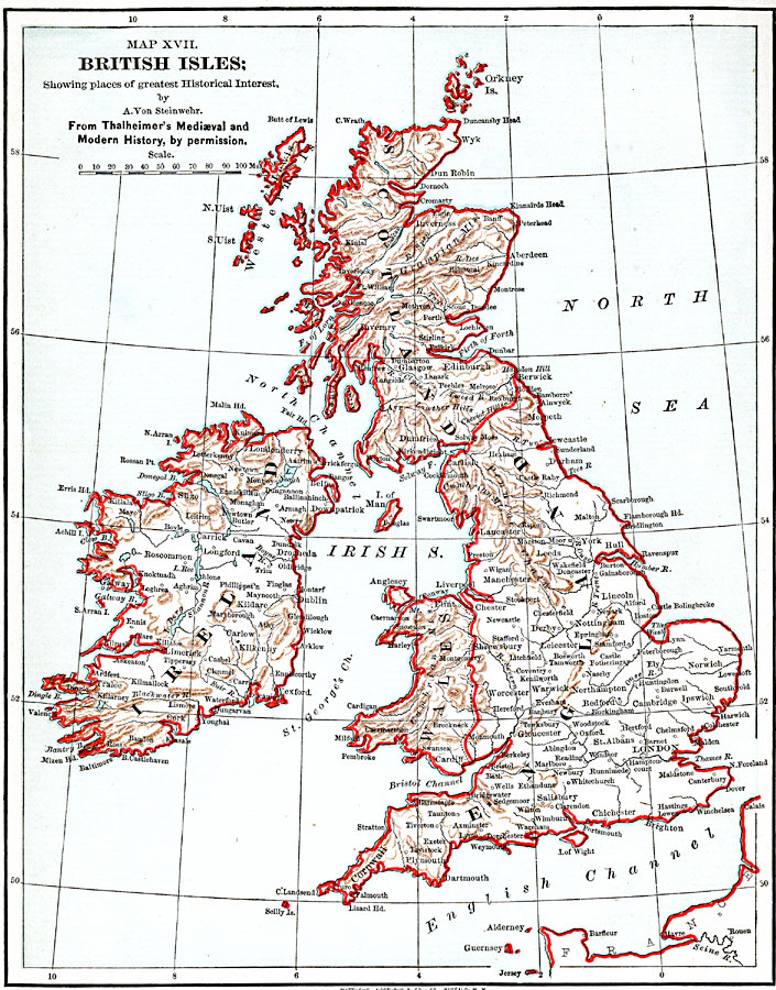
Description: A map of the British Isles from 1885, showing Ireland, Scotland, England, and Wales, with historic cities, rivers, and terrain. This map is subtitled "Showing places of greatest Historical Interest," referring to the work of Thalheimer's Mediæval and Modern History.
Place Names: United Kingdom, London, �Salisbury, �Dartmouth, �Plymouth, �Bristol, �Buckingham, �Gloucester, �Manchester, �Leicester, �Cardiff, �Lancaster, �Hul, �Leeds, �Edinburgh, �Dumfries, �Glasgow, �Perth, �Aberdeen, �Kilkenny, �Cork, �Dublin, �Limeric
ISO Topic Categories: boundaries,
inlandWaters,
location,
oceans
Keywords: British Isles, physical, �political, physical features, country borders, boundaries,
inlandWaters,
location,
oceans, Unknown, 1885
Source: John Clark Ridpath LL. D., Cyclopedia of Universal History (Cincinnati, Ohio: Jones Brothers Publishing Co., 1885) 753
Map Credit: Courtesy the private collection of Roy Winkelman |
|
