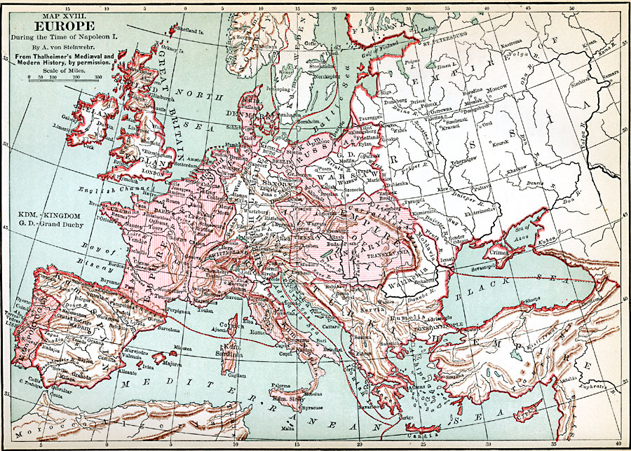
Description: A map of Europe during the time of Napoleon I, showing kingdoms and grand duchies, territorial and sea borders, major rivers, major cities, and capitals.
Place Names: A Complete Map of Europe, Portugal, �Spain, �France, �England, �Scotland, �Ireland, �Turkish Empire, �Denmark, �Sweden, �Norway, �Austria, �Rhenish League, �Russia, �Switzerlan
ISO Topic Categories: boundaries,
inlandWaters,
location,
oceans
Keywords: Napoleonic Europe, physical, �political, �historical, kNapoleonBonaparte, physical features, country borders,
major political subdivisions, other military,
historical event, boundaries,
inlandWaters,
location,
oceans, Unknown, 1799–1815
Source: John Clark Ridpath LL. D., Cyclopedia of Universal History (Cincinnati, Ohio: Jones Brothers Publishing Co., 1885) 1057
Map Credit: Courtesy the private collection of Roy Winkelman |
|