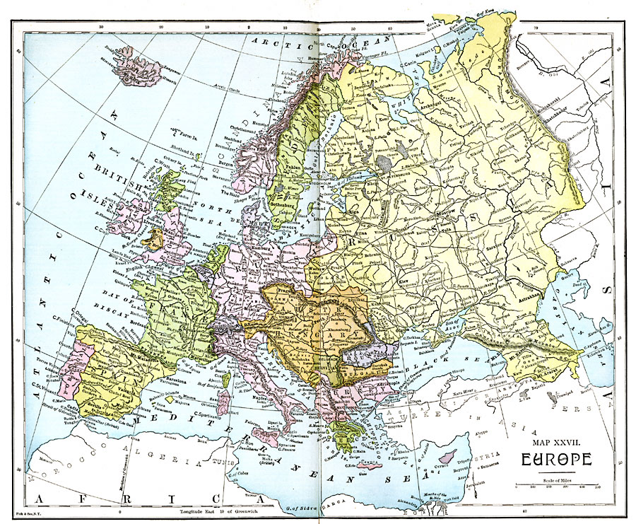
Description: A Map of Europe in 1885. Map is color–coded to differentiate between the various countries and includes major cities, railroads, and major rivers.
Place Names: A Complete Map of Europe, Russia, �Sweden, �Norway, �Prussia, �Netherlands, �Belgium, �Switzerland, �Italy, �Turkey, �Roumania, �Servia, �France, �Spain, �Portugal, �England, �Scotland, �Wales, �Ireland, �Iceland, �Greec
ISO Topic Categories: boundaries,
inlandWaters,
location,
oceans,
transportation
Keywords: Europe, physical, �political, �transportation, physical features, country borders, railroads, boundaries,
inlandWaters,
location,
oceans,
transportation, Unknown, 1885
Source: John Clark Ridpath LL. D., Cyclopedia of Universal History (Cincinnati, Ohio: Jones Brothers Publishing Co., 1885) 1286-1287
Map Credit: Courtesy the private collection of Roy Winkelman |
|