mapsMaps ETC Site map
 Maps ETC > Globes and Multi-continent > A Complete Map of Globes and Multi-continent > The World showing United States and its dependencies, 1910
Site Map 

The World showing United States and its dependencies, 1910

The World showing United States and its dependencies


Title: The World showing United States and its dependencies
Projection: Unknown,
Source Bounding Coordinates:
W: -100 E: 80 N: 80 S: -40

Main Map Page
Zoomify Version
B/W PDF Version
Color PDF Version
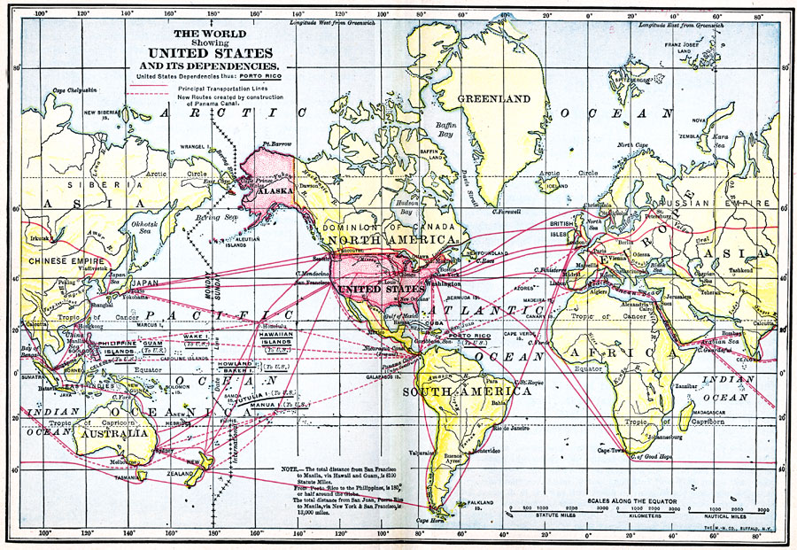
Description: Map of The World showing the United States and its dependencies.
Place Names: A Complete Map of Globes and Multi-continent, Africa, Antarctica, Asia, Australia, Europe, North America, South Americ
ISO Topic Categories: oceans, location, inlandWaters, boundaries
Keywords: The World showing United States and its dependencies, borders, physical, transportation, historical, water routes, historical event, oceans, location, inlandWaters, boundaries, Unknown, 1910
Source: Jacques W. Redway, F.R.G.S., The Redway School History (New York, NY: Silver, Burdett and Company, )
Map Credit: Courtesy the private collection of Roy Winkelman
SearchLicensePDF HelpGIS Help Google Earth Help Zoomify Help

 Maps ETC > Globes and Multi-continent > A Complete Map of Globes and Multi-continent > The World showing United States and its dependencies, 1910
Site Map