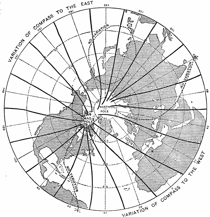
Description: A map from 1888 of the northern hemisphere showing the magnetic meridians and compass variations of the hemisphere. "The compass is essentially a freely swinging magnet. The pole of this magnet or ‘needle,’ which points to the magnetic pole in the arctic regions, is called its north or + pole. But the magnetic pole toward which the compass points, does not coincide with the end of the earth's axis or true north; hence, the compass needle does not everywhere indicate a true north-and-south line; the angle which it makes with this line is called the variation of the compass. The chart shows that the variation is considerably west of true north over most of the Atlantic and its coasts, but to the east over the Pacific and its coasts. Possibly in consequence of a slow movement in the magnetic pole, the west variation in the United States is now increasing, while the east variation is diminishing." — Hinman, 1888, p. 32.
Place Names: Northern Hemisphere, Asia, �Europe, �North Americ
ISO Topic Categories: geoscientificInformation
Keywords: Magnetic Meridians in the Northern Hemisphere, physical, �Magnetic Meridians, �physical features, geoscientificInformation, Unknown, 1888
Source: Russell Hinman, Eclectic Physical Geography (Cincinnati, Ohio: Houghton Mifflin Company, 1888) 31
Map Credit: Courtesy the private collection of Roy Winkelman |
|
