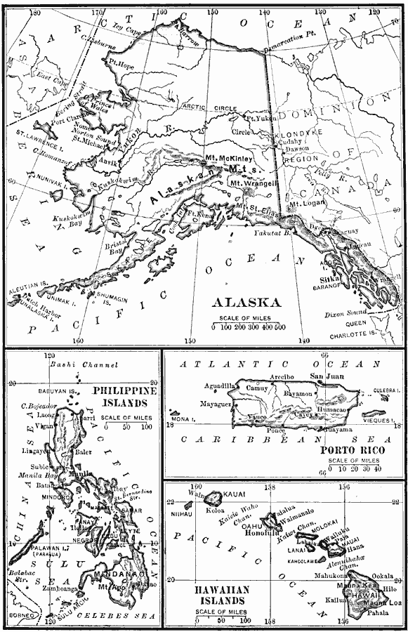
Description: A map from 1909 showing territories added to the United States: Alaska (1867), Hawaii by annexation (1898), and Puerto Rico and the Philippines after the Spanish–American War (1898).
Place Names: Growth of Nation, Alaska, �Philippines, �Hawaii, �Puerto Rico, ��United States Possession
ISO Topic Categories: inlandWaters,
location,
oceans,
boundaries
Keywords: Territories of the United States, physical, �political, �historical, �Spanish-American War, physical features, country borders,
major political subdivisions, historical event, inlandWaters,
location,
oceans,
boundaries, Unknown, 1900
Source: Charles Kendall Adams, A History of the United States (Boston, MA: Allyn and Bacon, 1909) 524
Map Credit: Courtesy the private collection of Roy Winkelman |
|