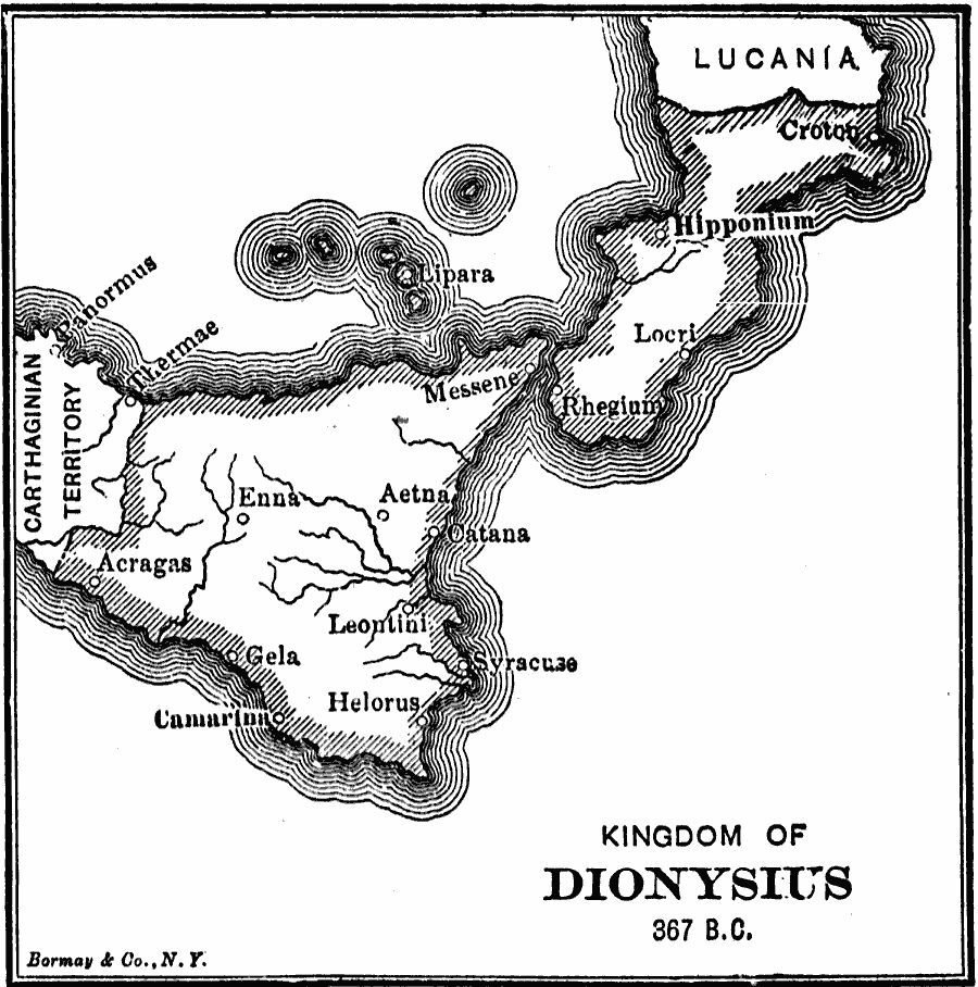
Description: A map of the Greek colonies on Sicily and southern Italy, showing the Kingdom of Dionysius I, in 367 BC. The map shows the important cities of Syracuse, Messene (Messina), Rhegium, Camarina, Hipponium, and Crota, and the Carthaginian territory to the west on Sicily, and Lucania (Samnites) to the north on the Italian Peninsula.
Place Names: Italy, Aetna, �Geia, �Aeragas, �Helorus, �Hipponium, �Messene,
ISO Topic Categories: inlandWaters,
location,
oceans,
boundaries
Keywords: Kingdom of Dionysius, physical, �political, kAncientGreece, physical features, major political subdivisions, inlandWaters,
location,
oceans,
boundaries, Unknown, 367 BC
Source: George Willis Botsford, Ph. D., A History of Greece (London, : The Macmillan Company, 1912) 243
Map Credit: Courtesy the private collection of Roy Winkelman |
|