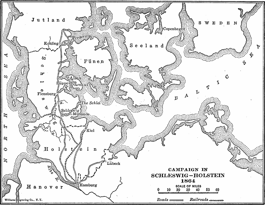
Description: A map of the campaign in Schleswig–Holstein during the Second Schleswig War in 1864. The war was fought between Denmark and the combined forces of Prussia and Austria for control of the Schleswig and Holstein duchies. The war ended on October 30, 1864 with the Treaty of Vienna, which resulted in Denmark's cession of the Duchies of Schleswig, Holstein and Lauenburg to Prussia and Austria.
Place Names: Central Europe, Sweden, �Germany, �Denmark, Jutland
ISO Topic Categories: transportation,
intelligenceMilitary,
inlandWaters,
location,
oceans,
boundaries
Keywords: Campaign in Schleswig-Holstein, physical, �political, �historical, �campaign in schleswig-holstein, �transportation, physical features, major political subdivisions, roads,
railroads, other military, transportation,
intelligenceMilitary,
inlandWaters,
location,
oceans,
boundaries, Unknown, 1864
Source: Lucius Hudson Holt, Ph.D., The History of Europe from 1862 to 1914 (New York, NY: The Macmillan Company, 1918) 82
Map Credit: Courtesy the private collection of Roy Winkelman |
|
