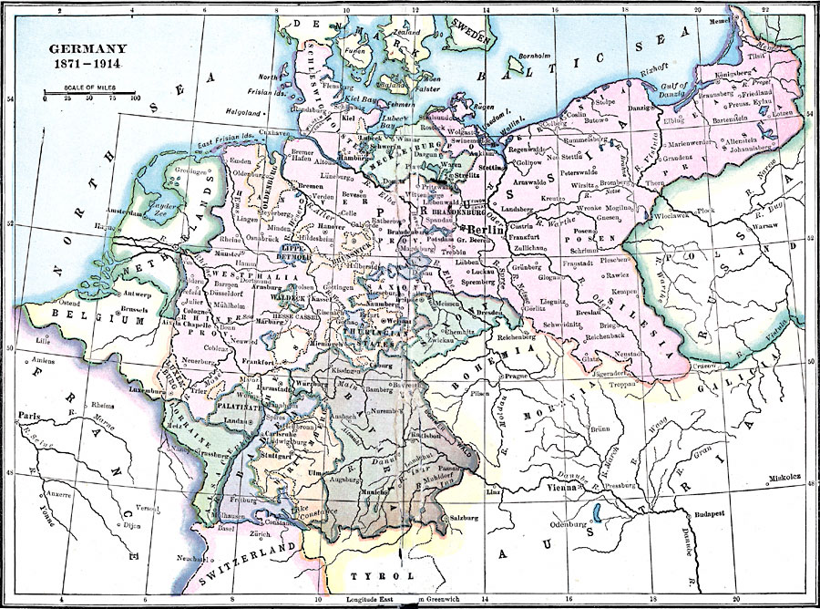
Description: A map of Germany, from 1871 after the Franco–Prussian War and creation of the German Empire, to 1914 and the beginning of WWI. The map shows the German and Prussian territories unified by Otto von Bismarck, including major cities and political boundaries.
Place Names: Germany, France, �Germany, �Bavaria, �Prussia, �Austria, �Sweden, �Switzerland, �Saxon
ISO Topic Categories: boundaries,
oceans,
inlandWaters,
location
Keywords: Germany, physical, �political, physical features, country borders, boundaries,
oceans,
inlandWaters,
location, Unknown, 1871–1914
Source: Lucius Hudson Holt, Ph.D., The History of Europe from 1862 to 1914 (New York, NY: The Macmillan Company, 1918) 174
Map Credit: Courtesy the private collection of Roy Winkelman |
|