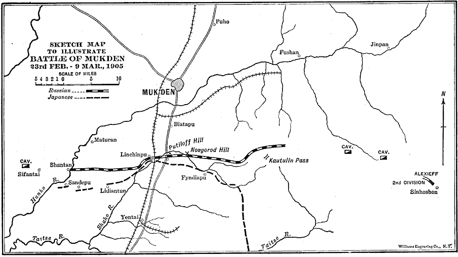
Description: A sketch map of the Manchurian battle site of Mukden, the last major land battle of the Russo–Japanese War (1904–1905). The map shows the main Russian and Japanese entrenchment lines along the Shaho River between 23 February and 9 March, 1905, the positions of the Russian Cavalry units, and the entrenchment of the Russian 2nd Division under Alexieff near Sinhoshon. The map shows the strategic railways and roads in the area, fortification sites (Putiloff Hill, Novgorod Hill, and Kautulin Pass), rivers, and the neighboring cities and towns.
Place Names: China, Shenyang, �Puho, �Jinpan, �Fyndiapu, �Shantan, �Yentai, �Matura
ISO Topic Categories: transportation,
inlandWaters,
intelligenceMilitary,
location,
oceans
Keywords: Battle of Mukden, physical, �political, �transportation, �historical, �russo-japanese war, kBattle, physical features, country borders, roads,
railroads, other military, transportation,
inlandWaters,
intelligenceMilitary,
location,
oceans, Unknown, February 20, 1905–March 10, 1905
Source: Lucius Hudson Holt, Ph.D., The History of Europe from 1862 to 1914 (New York, NY: The Macmillan Company, 1918) 360
Map Credit: Courtesy the private collection of Roy Winkelman |
|
