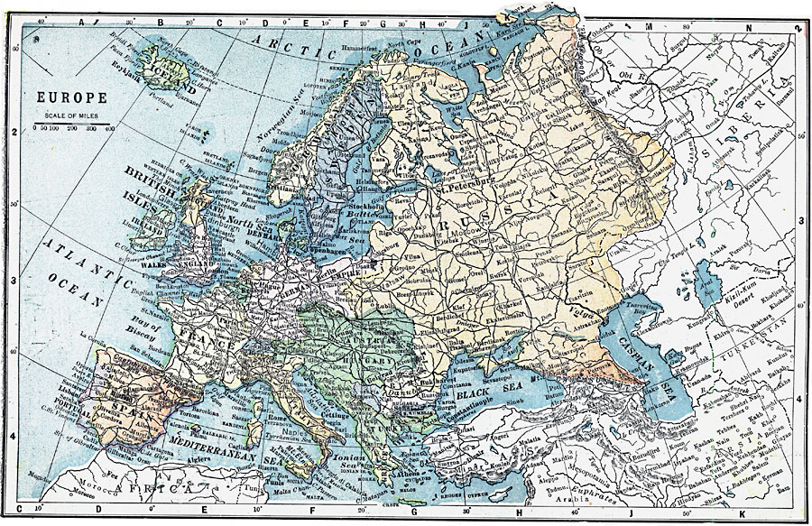
Description: A map of Europe as it was in 1903, showing country borders, major cities, railroad routes, and major rivers.
Place Names: A Complete Map of Europe, France, �Spain, �Portugal, �Sweden, �United Kingdom, �Italy, �Greece, �Germany, �Prussia, �Norway, �Austria-Hungary, �German Empire, �Icelan
ISO Topic Categories: boundaries,
inlandWaters,
location,
oceans
Keywords: Map of Europe, physical, �political, �transportation, physical features, country borders, roads, boundaries,
inlandWaters,
location,
oceans, Unknown, 1903
Source: W. R. Hearst, The American Almanac, Yearbook Cycopedia and Atlas 2nd ed (Chicago, IL: Hearst's Chicago American, 1903) 248
Map Credit: Courtesy the private collection of Roy Winkelman |
|