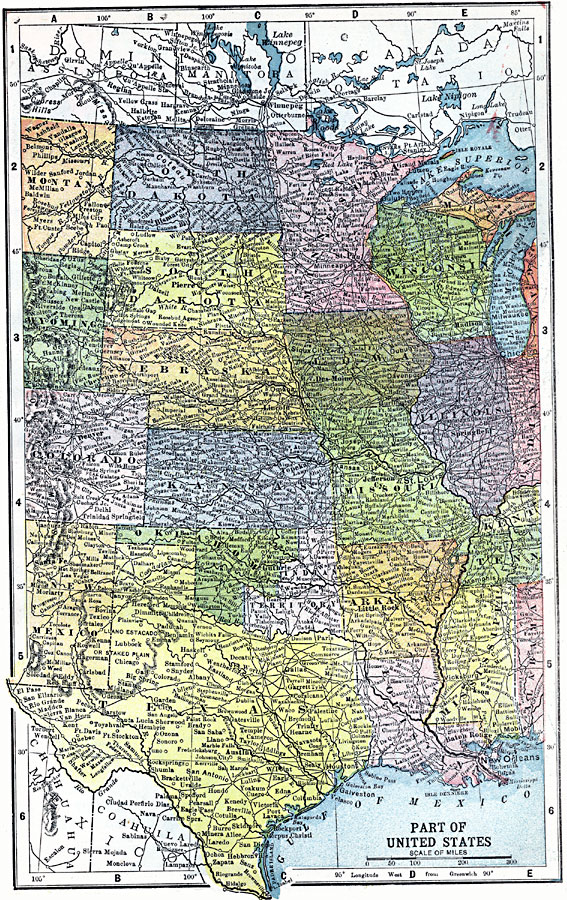
Description: The western states, including an inset of Alaska.
Place Names: Miscellaneous United States, Los Angeles, �San Diego, �Salem, �San Francisco, �Santa Fe, �Tijuana, �Pheonix, �Mississippi Rive
ISO Topic Categories: boundaries,
transportation,
inlandWaters,
location,
oceans
Keywords: The Central States, physical, �political, �transportation, physical features, country borders, railroads, boundaries,
transportation,
inlandWaters,
location,
oceans, Unknown, 1903
Source: W. R. Hearst, The American Almanac, Yearbook Cycopedia and Atlas 2nd ed (Chicago, IL: Hearst's Chicago American, 1903) 377
Map Credit: Courtesy the private collection of Roy Winkelman |
|