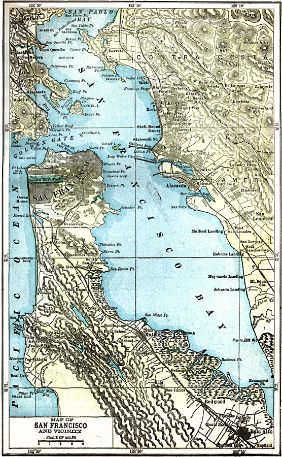
Description: A map from 1903 of the San Francisco Bay area, showing roads, railroads, local jurisdictions, and physical features. The map pre–dates the bridge system of the bay, including the Golden Gate Bridge started in 1933.
Place Names: California, San Francisco, �Berkeley, �Redwood, �Palo Alt
ISO Topic Categories: transportation,
boundaries,
inlandWaters,
location,
oceans
Keywords: San Francisco Bay, physical, �political, �transportation, physical features, local jurisdictions, roads,
railroads, transportation,
boundaries,
inlandWaters,
location,
oceans, Unknown, 1903
Source: W. R. Hearst, The American Almanac, Yearbook Cycopedia and Atlas 2nd ed (Chicago, IL: Hearst's Chicago American, 1903) 432
Map Credit: Courtesy the private collection of Roy Winkelman |
|
