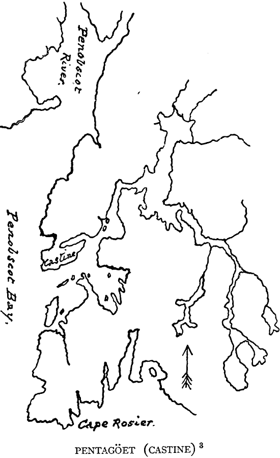
Description: A sketch map of the eastern shoreline of Penobscot Bay, Maine, showing the location of the early French settlement and fort Pentagöet (Fort Pentagouet), or Castine at around the time the British from the Plymouth Colonies rousted the French settlers (1626). The map also shows Cape Rosier.
Place Names: Maine, Penobsco
ISO Topic Categories: oceans,
location,
inlandWaters
Keywords: Fort Pentagöet, Maine, borders, �physical, oceans,
location,
inlandWaters, Unknown, 1626
Source: Justin Winsor, Narrative and Critical History of America (vol. 4) (Boston, MA: Houghton, Mifflin, and Company, 1884) 146
Map Credit: Courtesy the private collection of Roy Winkelman |
|