mapsMaps ETC Site map
 Maps ETC > United States > Miscellaneous United States > Drainage Basin and Principal Streams of the Mississippi River System, 1888
Site Map 

Drainage Basin and Principal Streams of the Mississippi River System, 1888

Drainage Basin and Principal Streams of the Mississippi River System


Title: Drainage Basin and Principal Streams of the Mississippi River System
Projection: Unknown,
Source Bounding Coordinates:
W: E: N: S:

Main Map Page
Zoomify Version
B/W PDF Version
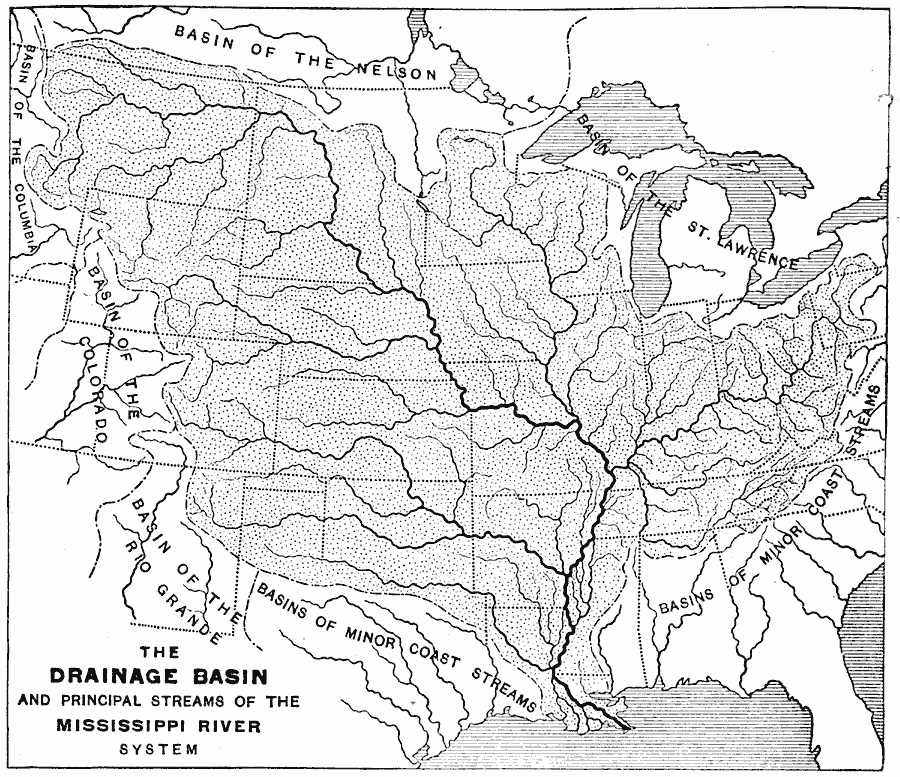
Description: Shows rivers and basins that feed into the Mississippi River.
Place Names: Miscellaneous United States, Basin of the St. Lawrence, Basin of the Nelson, Basin of the Colorado, Basin of the Columbia, Basin of the Rio Grande, Mississippi River, Gulf of Mexico, Southern United State
ISO Topic Categories: inlandWaters, location
Keywords: Drainage Basin and Principal Streams of the Mississippi River System, drainage basins, inlandWaters, location, Unknown, 1888
Source: Russell Hinman, Eclectic Physical Geography (Cincinnati, OH: Houghton Mifflin Company, 1888) 207
Map Credit: Courtesy the private collection of Roy Winkelman
SearchLicensePDF HelpGIS Help Google Earth Help Zoomify Help

 Maps ETC > United States > Miscellaneous United States > Drainage Basin and Principal Streams of the Mississippi River System, 1888
Site Map