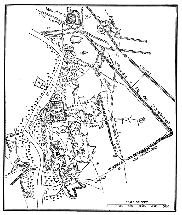
Description: A city plan of Babylon in the Chaldean Age or Neo-Babylonian Empire, at the time of Nebuchadnezzar II (605–562 BC). The plan shows the city walls, canals, roads, the Euphrates River, the Palace of Nebuchadnezzar, and the Ishtar Gate.
Place Names: Iraq, Babylo
ISO Topic Categories: oceans,
location,
inlandWaters
Keywords: Babylon in the Chaldean Age, borders, �physical, oceans,
location,
inlandWaters, Unknown, 600 BC
Source: James Henry Breasted, Ph.D., LL.D., Ancient Times - A History of the Early World (Boston, MA: Ginn and Company, 1916) 165
Map Credit: Courtesy the private collection of Roy Winkelman |
|