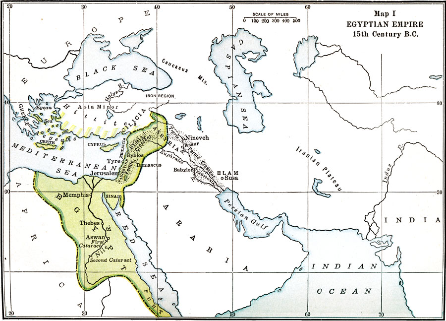
Description: Map of the Egyptian Empire in 15th Century B.C.
Place Names: Egypt, Assyria, �Damascus, �Memphis, �Sinai, �Thebe
ISO Topic Categories: oceans,
location,
inlandWaters
Keywords: Egyptian Empire, borders, �physical, oceans,
location,
inlandWaters, Unknown, 15th Century BCE
Source: James Henry Breasted, Ph.D., LL.D., Ancient Times - A History of the Early World (Boston, MA: Ginn and Company, 1916)
Map Credit: Courtesy the private collection of Roy Winkelman |
|