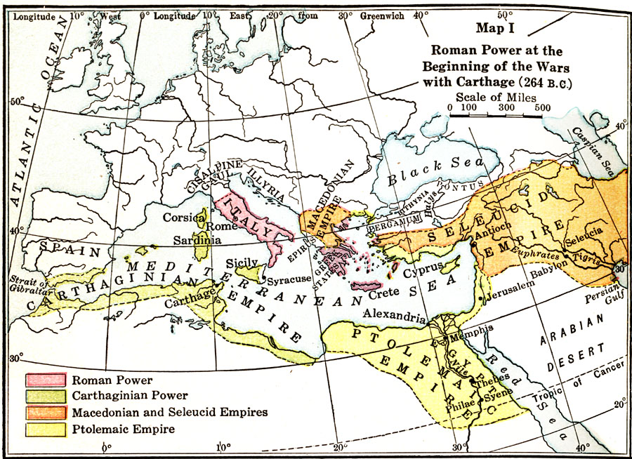
Description: Map showing the extent of Roman Power at the Beginning of the Wars with Carthage (264 B.C.), color–coded to distinguish between Roman and Carthaginian power, the Macedonian and Seleucid Empires, and the Ptolemaic Empire.
Place Names: Regional Mediterranean, Egypt, �Greece, �Italy, �Sicily, �Spain,
ISO Topic Categories: borders, �physical, kWorldMedSea, kWorldAfroAsia, kWorldEurasia, kWorldEuroAfrica
Keywords: Roman Power at the Beginning of the Wars with Carthage, borders, �physical, borders, �physical, kWorldMedSea, kWorldAfroAsia, kWorldEurasia, kWorldEuroAfrica, Unknown, 264 B.C.
Source: James Henry Breasted, Ph.D., LL.D., Ancient Times - A History of the Early World (Boston, MA: Ginn and Company, 1916)
Map Credit: Courtesy the private collection of Roy Winkelman |
|