mapsMaps ETC Site map
 Maps ETC > Globes and Multi-continent > Regional Mediterranean > Expansion of Roman Power between the end of the Hannibalian War to the beginning of the Revolution , 201–133 B.C.
Site Map 

Expansion of Roman Power between the end of the Hannibalian War to the beginning of the Revolution , 201–133 B.C.

Expansion of Roman Power between the end of the Hannibalian War to the beginning of the Revolution


Title: Expansion of Roman Power between the end of the Hannibalian War to the beginning of the Revolution
Projection: Unknown,
Source Bounding Coordinates:
W: 10 E: 50 N: 50 S: 20

Main Map Page
Zoomify Version
B/W PDF Version
Color PDF Version
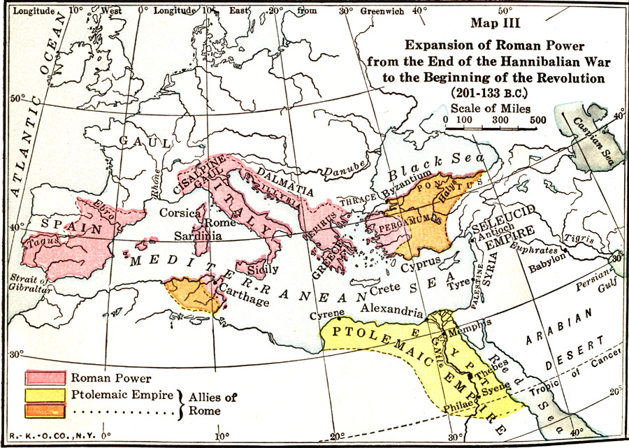
Description: Map showing the expansion of Roman power between the end of the Hannibalian War to the beginning of the Revolution (201–133 B.C.), color–coded to distinguish between Roman power and the allies of Rome.
Place Names: Regional Mediterranean, Egypt, Greece, Italy, Sicily, Spain,
ISO Topic Categories: borders, physical, kWorldMedSea
Keywords: Expansion of Roman Power between the end of the Hannibalian War to the beginning of the Revolution , borders, physical, borders, physical, kWorldMedSea, Unknown, 201–133 B.C.
Source: James Henry Breasted, Ph.D., LL.D., Ancient Times - A History of the Early World (Boston, MA: Ginn and Company, 1916)
Map Credit: Courtesy the private collection of Roy Winkelman
SearchLicensePDF HelpGIS Help Google Earth Help Zoomify Help

 Maps ETC > Globes and Multi-continent > Regional Mediterranean > Expansion of Roman Power between the end of the Hannibalian War to the beginning of the Revolution , 201–133 B.C.
Site Map