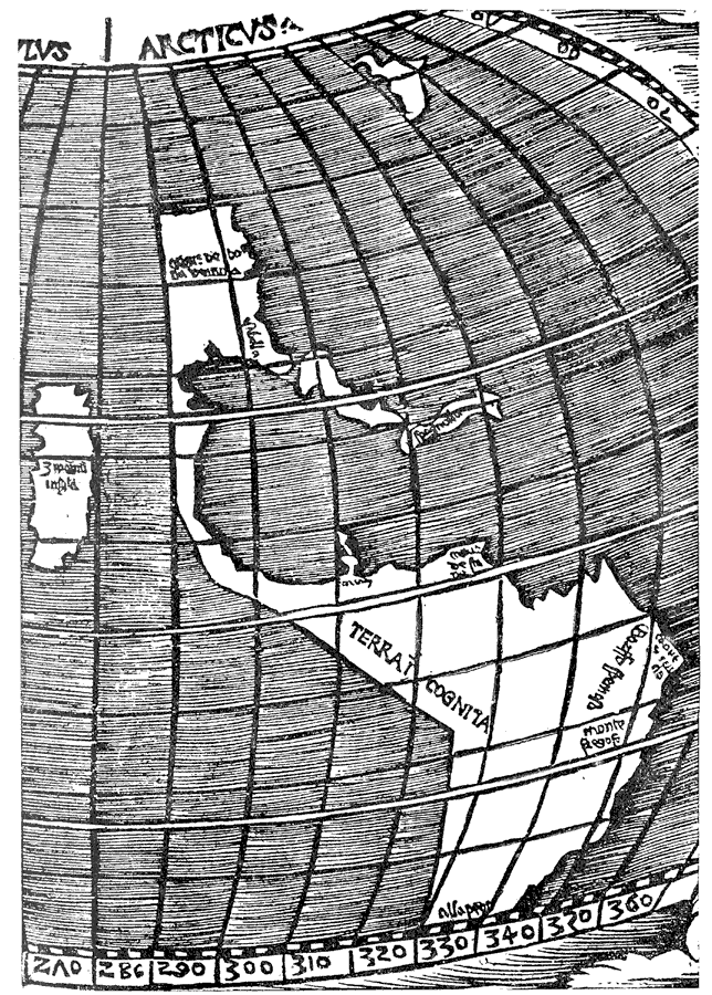
Description: Depiction of North and South America in 1512.
Place Names: Western Hemisphere, North America, �South America, �Ortus de Bona Ventura, �Isabella, �Spagnolla, �Arcay, Caput de Sta de, �Gorffo Fremosa, �Caput S. Crucis, �Monte Fregoso, �Alla Pega, �Terra Incognita, �Zypangu Insula, �Japa
ISO Topic Categories: oceans,
location
Keywords: Stobnicza's Map of the New World, physical, physical features, oceans,
location, Unknown, 1512
Source: Justin Winsor, Narrative and Critical History of America Vol. III (Boston, Massachusetts: Houghton, Mifflin and Company, 1884) 13
Map Credit: Courtesy the private collection of Roy Winkelman |
|