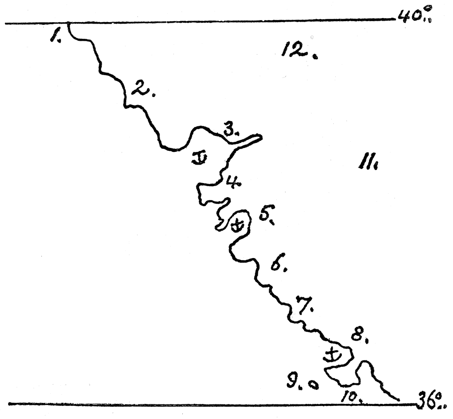
Description: A facsimile of a sketch map by Robert Dudley published in 1646 showing the explorations of Sir Francis Drake along the California coast. The map shows the area from latitude 40° to 36°, and is keyed to show anchorages and the locations of: (1) C. Arboledo; (2) Ensa Larga; (3) Po. di Don Gaspar; (4) R. Salado; (5) Po. dell Nuovo Albion scoperto dal Drago Cno. Inglese; (6) Enseada Po. di Anonaebo; (8) Po. di Moneerei; (9) C. S. Barbera; (10) C. S. Agostino; (11) Quivira Ro; and (12) Nuova Albione. — Narrative and Critical History of America Vol. III, 1884.
Place Names: California, Cape Arboledo, �Ensa Larga, �Po. di Don Gasper, �R. Salado, �Enseada, �Po. di Anonaebo, �Po. di Moneerei, �C. S. Barbera, �C. S. Agostino, �Nuova Albione,
ISO Topic Categories: location,
inlandWaters,
oceans
Keywords: Dudley's Carta Prima, physical, kEarlyMapsFacsimile, physical features, location,
inlandWaters,
oceans, Unknown, 1646
Source: Justin Winsor, Narrative and Critical History of America Vol. III (Boston, MA: Houghton, Mifflin and Company, 1884) 77
Map Credit: Courtesy the private collection of Roy Winkelman |
|
