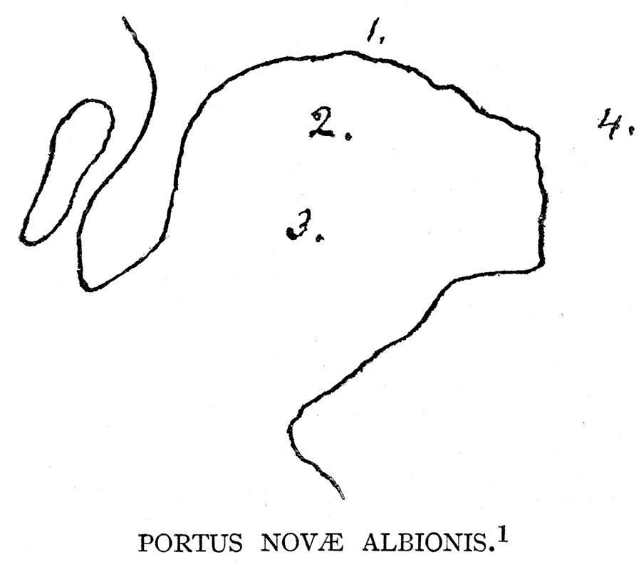
Description: A facsimile of a portion of an early outline sketch of Drake's Bay (1602). The map is keyed to show: (1) A group of Indian houses; (2) Place of the ship; (3) Portus Novae Albionis; and (4) A group of the English conferring with the natives. — Narrative and Critical History of America Vol. III, 1884.
Place Names: California, Drake's Bay, �Portus Novae Albionis,
ISO Topic Categories: location
Keywords: Portus Novae Albionis, physical, kEarlyMapsFacsimile, physical features, location, Unknown, 1602
Source: Justin Winsor, Narrative and Critical History of America Vol. III (Boston, MA: Houghton, Mifflin and Company, 1884) 80
Map Credit: Courtesy the private collection of Roy Winkelman |
|