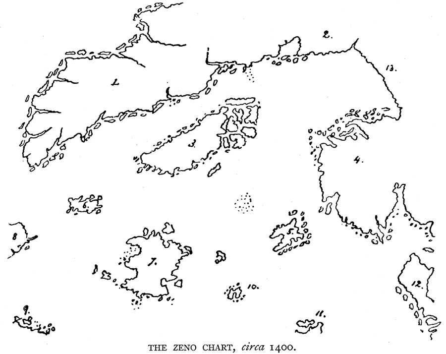
Description: A facsimile of an early map showing locations of: 1. Engronelant (Greenland). 2. Grolandia. 3. Islanda (Iceland). 4. Novegia (Norway). 5. Estland (Shetland Islands?). 6. Icaria. 7. Frisland (Faroe Islands?). 8. Estotiland (Labrador?). 9. Drogeo (Newfoundland or New England?). 10. Podalida. 11. Scocia (Scotland). 12. Mare et terre incognite. — Narrative and Critical History of America Vol. III, 1884
Place Names: A Regional Map of North America, Greenland, �Engronelant, �Grolandia, �Islanda, �Iceland, �Novegia, �Norway, �Estland, �Shetland Islands, �Icaria, �Frisland, �Faroe Islands, �Estotiland, �Labrador, �Drogeo, �Newfoundland, �New England, �Podalida, �Scocia, �Scotland, �North America, �E
ISO Topic Categories: oceans,
location
Keywords: North Atlantic Region, physical, physical features, oceans,
location, Unknown, 1400
Source: Justin Winsor, Narrative and Critical History of America Vol. III (Boston, MA: Houghton, Mifflin and Company, 1884) 100
Map Credit: Courtesy the private collection of Roy Winkelman |
|
