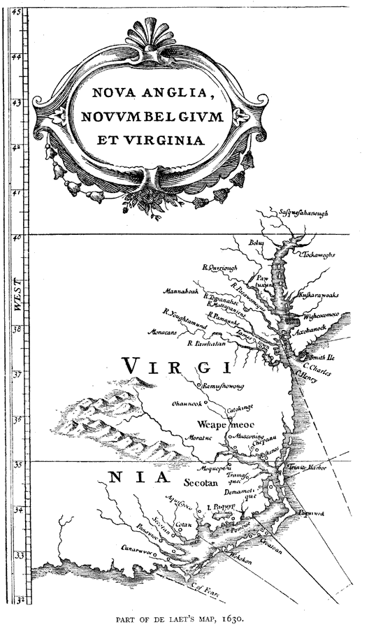
Description: A facsimile of a map from De Laet showing the Atlantic coast of the Virginia region in 1630.
Place Names: Virginia, Cape Charles, �Cape Henry, �Secotan, �Jamestown, �Accohanock,
ISO Topic Categories: inlandWaters,
location
Keywords: De Laet's Map of Virginia, physical, kEarlyMapsFacsimile, physical features, inlandWaters,
location, Unknown, 1630
Source: Justin Winsor, Narrative and Critical History of America Vol. III (Boston, MA: Houghton, Mifflin and Company, 1884)
Map Credit: Courtesy the private collection of Roy Winkelman |
|