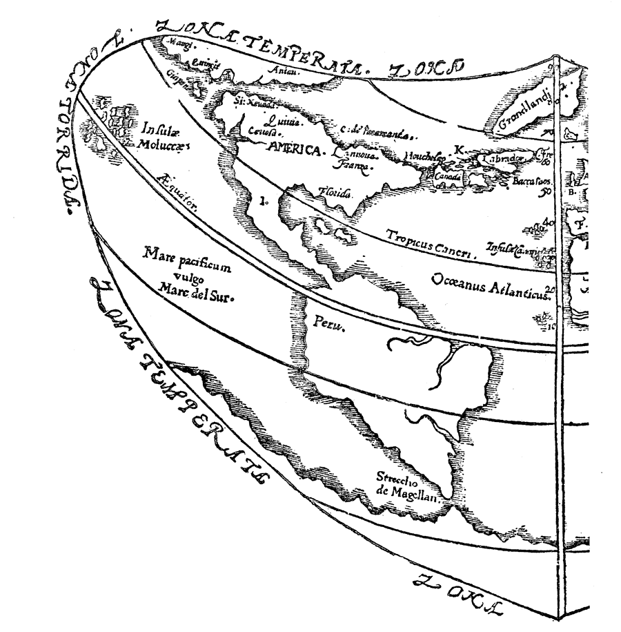
Description: Depiction of the Western Hemisphere in 1576.
Place Names: Western Hemisphere, North America, �South America, �Oceanus Atlanticus, �Peru, �Florida,
ISO Topic Categories: inlandWaters,
location,
oceans
Keywords: Gilbert's Map of Western Hemisphere, physical, physical features, inlandWaters,
location,
oceans, Unknown, 1576
Source: Justin Winsor, Narrative and Critical History of America Vol. III (Boston, Massachusetts: Houghton, Mifflin and Company, 1884) 203
Map Credit: Courtesy the private collection of Roy Winkelman |
|