mapsMaps ETC Site map
 Maps ETC > North America > A Regional Map of North America > Sketch From the Frankfort Globe, 1520
Site Map 

Sketch From the Frankfort Globe, 1520

Sketch From the Frankfort Globe


Title: Sketch From the Frankfort Globe
Projection: Unknown,
Source Bounding Coordinates:
W: E: N: S:

Main Map Page
Zoomify Version
B/W PDF Version
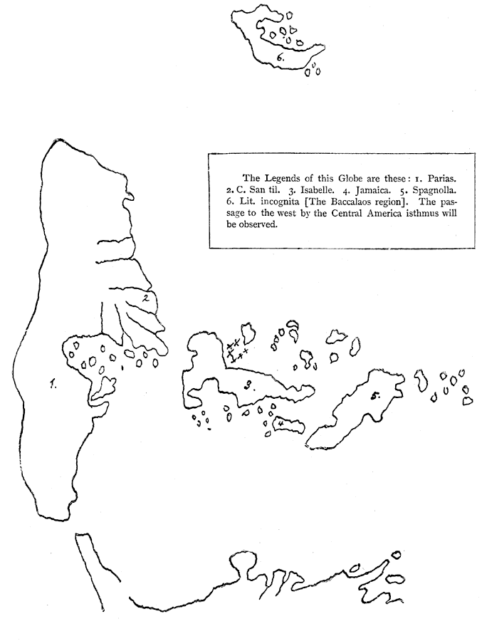
Description: Region of the Western Hemisphere depicted on the Frankfort Globe.
Place Names: A Regional Map of North America, Parias, Isabelle, Jamaica, Spagnolla,
ISO Topic Categories: inlandWaters, location
Keywords: Sketch From the Frankfort Globe, physical, physical features, inlandWaters, location, Unknown, 1520
Source: Justin Winsor, Narrative and Critical History of America Vol. III (Boston, MA: Houghton, Mifflin and Company, 1884) 215
Map Credit: Courtesy the private collection of Roy Winkelman
SearchLicensePDF HelpGIS Help Google Earth Help Zoomify Help

 Maps ETC > North America > A Regional Map of North America > Sketch From the Frankfort Globe, 1520
Site Map